Waves of Snow & Rain Across the Rockies
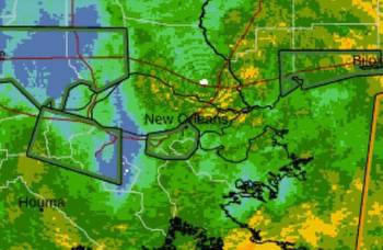
COLORADO - Heavy rain and snow is coming to an end Wednesday evening as low pressure is moving to the east. However, this is not the only chance of precipitation this week, as another burst of heavy rain and snow is expected Thursday into Friday across the Rockies. A few severe storms are possible, too!
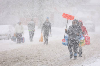
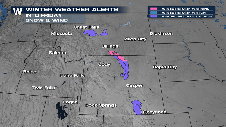
Winter alerts are already being issued ahead of this system, primarily for spots above 7000 feet in elevation. Heavy snow and gusty winds are expected, which could make travel difficult during the day Thursday.
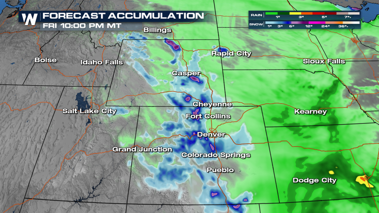
 As the cold front swings south from Canada Thursday morning, rain and snow will begin in the Northern Rockies. This will move south through the day, and produce heavy rain and heavy snow at times. A few gusty thunderstorms are also possible into Wyoming, northern Colorado and western Nebraska. Rain will change over to snow late Thursday into Friday along the Front Range of the Rockies.
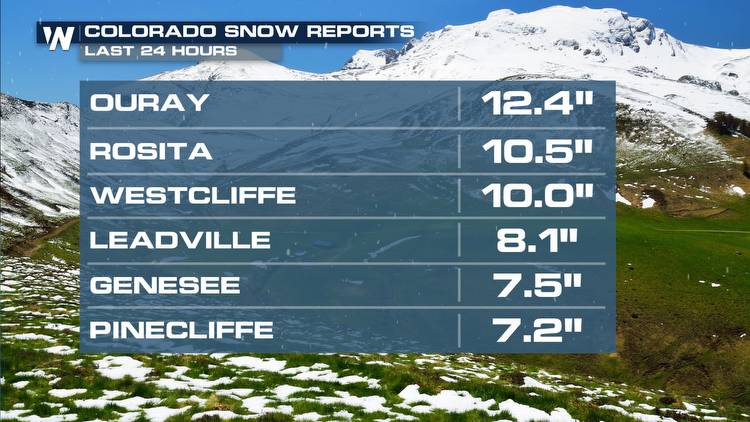
Snow Thursday into Friday will favor the northern Rockies of Colorado along with southern Wyoming. An additional 3-6" will be possible here. Upwards of an additional foot of snow will be possible in the higher elevations of the southern Sangre de Cristo and Wet Mountains, while several inches of snow will be expected in the lower elevations. The snow that does fall will likely be heavy, sticky snow due to the warm temperatures.
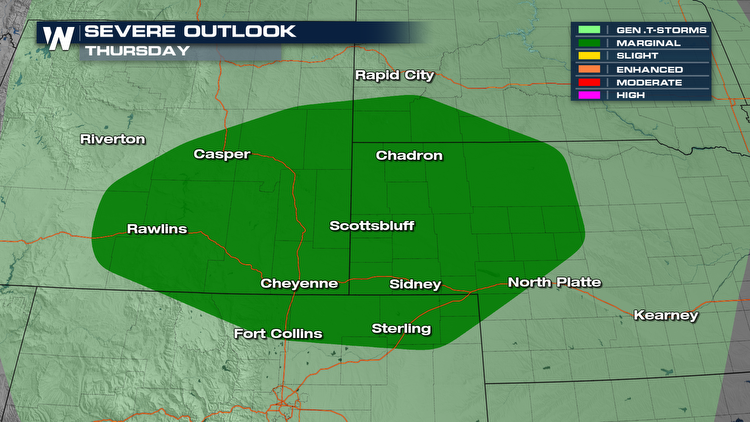
 In addition, there is a chance for a few stronger storms across the Wyoming and Nebraska High Plains Thursday afternoon. The Storm Prediction Center has highlighted this area as a Marginal Risk. The primary threat will be damaging straight line winds.
 To get up-to-date information on this system, make sure to watch the Western regional forecast :50 past the hour on WeatherNation.